Wheelmap.org
Find and rate accessible places: The most extensive online map for wheelchair-accessible places – based on open data.

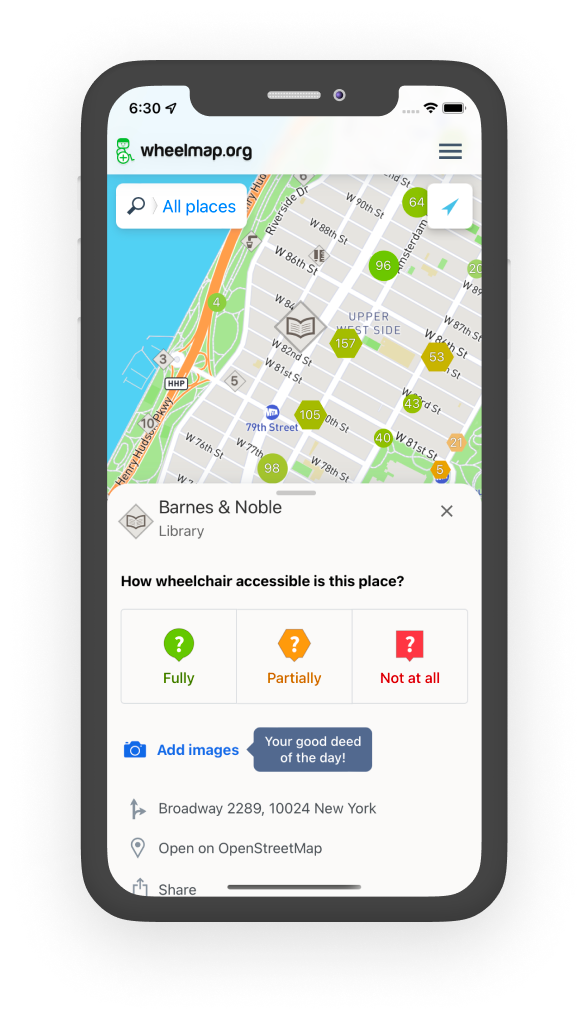
Wheelmap.org is the most extensive international open online map for wheelchair-accessible places. You can find the app on the web, or download it for iOS and for Android.
If you have a mobility impairment, use a wheelchair, or are a parent with a stroller, it answers a simple question about a physical place: Can I get in?
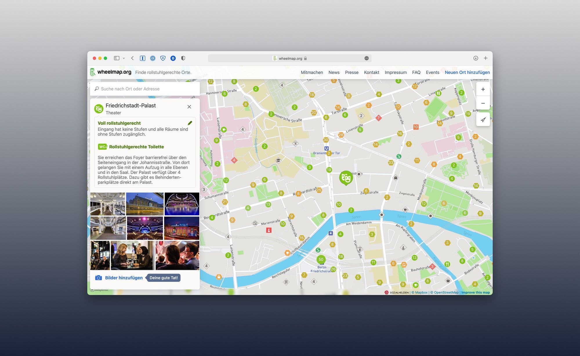
Besides providing info about 2.4M places, anyone can rate sites at home (‘armchair mapping’) or in coordinated community events (‘mapathons’). Wheelmap has a simple traffic light system for accessibility but allows to enter intricate details – for example, does a specific toilet have grab bars? How many steps are at the entrance, and how high are they?

Behind the scenes, Wheelmap’s backend is accessibility.cloud, an exchange platform for real-world accessibility data. Wheelmap uses A11yJSON internally – the world’s first ubiquitous data standard for describing physical accessibility.
The project is run by Sozialhelden e.V., a German non-profit, and has been around for more than ten years. It’s in active development and continuously improved.
I’m CTO at Sozialhelden e.V., and I work with a fantastic team that develops Wheelmap further.
Wheelmap has regularly been featured in Apple’s App Store, and has a story about its inception.